Raw Imagery Collection
Planned UAV missions using RGB, multispectral and LiDAR sensors for consistent high-resolution coverage.

JapakGIS Services
Professional UAV mapping for high-resolution imagery, terrain models, inspections and environmental monitoring.
Our UAV workflows combine safe data capture, photogrammetry and spatial analysis to deliver centimetre-level project intelligence.
Discuss Your Project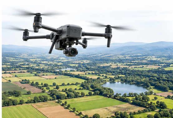
What We Deliver
Planned UAV missions using RGB, multispectral and LiDAR sensors for consistent high-resolution coverage.
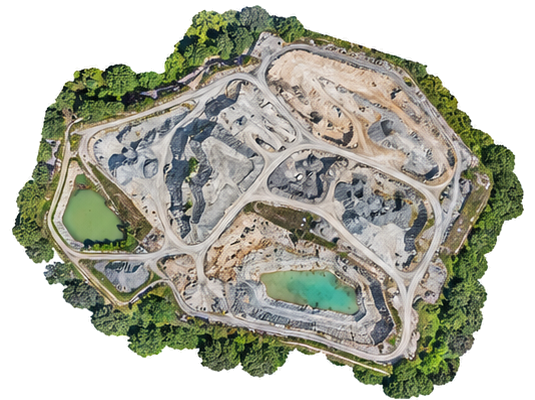
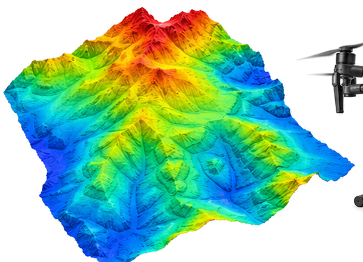
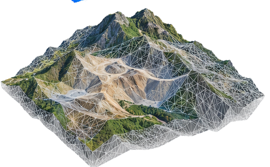
Orthomosaics, point clouds, terrain models, volumes, contours and change analysis.
Professional outputs for infrastructure, engineering, agriculture and natural-resource management.
Solutions & Outputs
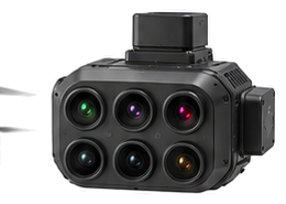
Technology
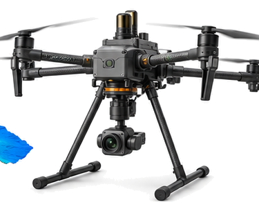 Mapping UAVs
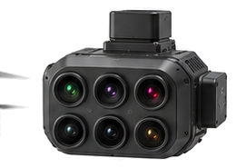 Multispectral
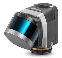 LiDAR
LiDARTell us about your objectives, location and data needs. We’ll help define a practical next step.