Survey Design & Digital Collection
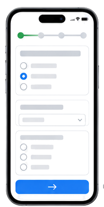
Sampling, questionnaires, validation rules, offline maps, GPS tagging and field quality controls.

JapakGIS Services
JapakGIS provides end-to-end research and field data collection services using GPS devices, smartphones, tablets and mobile data collection applications.
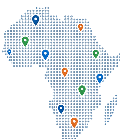
We support governments, businesses, NGOs and research institutions with reliable, geo-referenced data for surveys, asset mapping, monitoring, planning and decision-making.
Discuss Your Project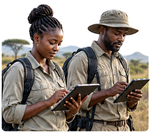
What We Deliver
Sampling, questionnaires, validation rules, offline maps, GPS tagging and field quality controls.
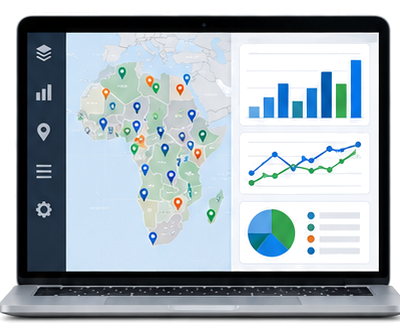
M&E frameworks, baseline surveys, indicators, progress monitoring and interactive dashboards.
GPS Mapping, Mobile Data Collection & Field Surveys.
Solutions & Outputs
Technology
 ODK
ODK KoboToolbox
 Mobile Collection
 Analytics
Tell us about your objectives, location and data needs. We’ll help define a practical next step.