Data Collection Solutions
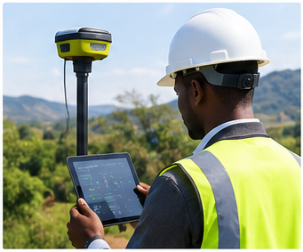
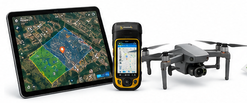
Structured mobile, GPS and imagery-based workflows with validation that produce accurate, decision-ready spatial data.

JapakGIS Services
Custom web and mobile GIS applications that turn complex location data into intuitive, decision-ready tools.
Since 2010, JapakGIS has designed secure geo-applications that connect field collection, spatial analysis, reporting and enterprise workflows.
Discuss Your Project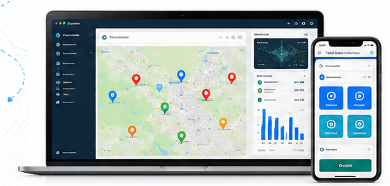
What We Deliver
Structured mobile, GPS and imagery-based workflows with validation that produce accurate, decision-ready spatial data.
Responsive web and mobile interfaces for viewing, editing, querying and analysing spatial information.
Secure spatial databases, APIs, cloud services, access controls and caching for scalable performance.
Solutions & Outputs
Technology
 Leaflet
 React
React QGIS
QGIS ArcGIS
 Python
 PostgreSQL
Tell us about your objectives, location and data needs. We’ll help define a practical next step.