Imagery Data Acquisition
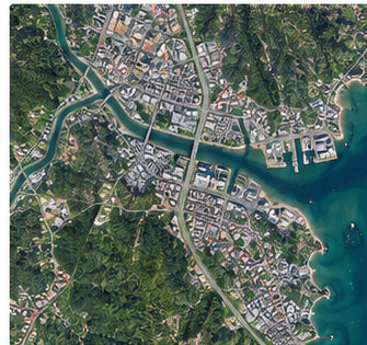
Appropriate satellite and aerial sources selected by spatial, spectral and temporal resolution.

JapakGIS Services
Satellite and aerial imagery processing for environmental monitoring, land-use intelligence and disaster response.
JapakGIS converts raw earth-observation imagery into accurate maps, indicators and visual models that support timely decisions.
Discuss Your Project
What We Deliver
Appropriate satellite and aerial sources selected by spatial, spectral and temporal resolution.
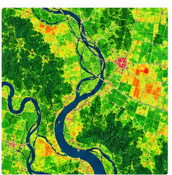
Correction, mosaicking, classification, change detection and index generation using proven workflows.
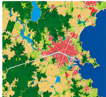
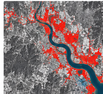
Clear land-cover, environmental and disaster-impact maps compatible with desktop and web GIS.
Solutions & Outputs
Technology
 Sentinel
 Landsat
 Earth Engine
 ArcGIS
 QGIS
QGIS ENVI
ENVITell us about your objectives, location and data needs. We’ll help define a practical next step.