Geoprocessing & Overlay Analysis
Coordinate-system standardisation, topology checks, vector and raster overlays, and harmonised geodatabases.

JapakGIS Services
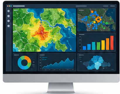
Advanced spatial analysis and modeling that transforms geographic data into evidence for planning and investment.
We combine geoprocessing, spatial statistics and predictive modeling to reveal patterns, compare scenarios and target resources effectively.
Discuss Your Project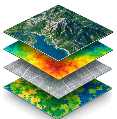
What We Deliver
Coordinate-system standardisation, topology checks, vector and raster overlays, and harmonised geodatabases.
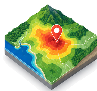
Multi-criteria analysis, suitability mapping and scenario modeling for informed development decisions.
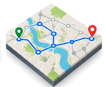
Hotspot detection, clustering, routing, service coverage and network optimisation for smarter allocation.
Solutions & Outputs
Technology
 ArcGIS
 QGIS
QGIS Python
 PostGIS
 Power BI
 GeoServer
Tell us about your objectives, location and data needs. We’ll help define a practical next step.